|
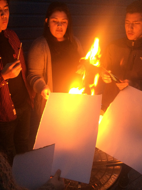
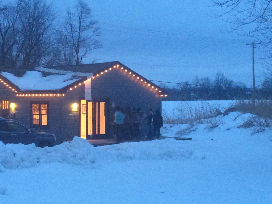
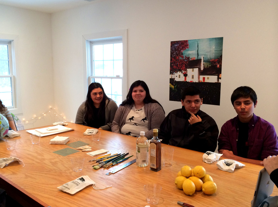
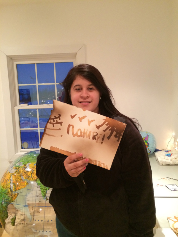
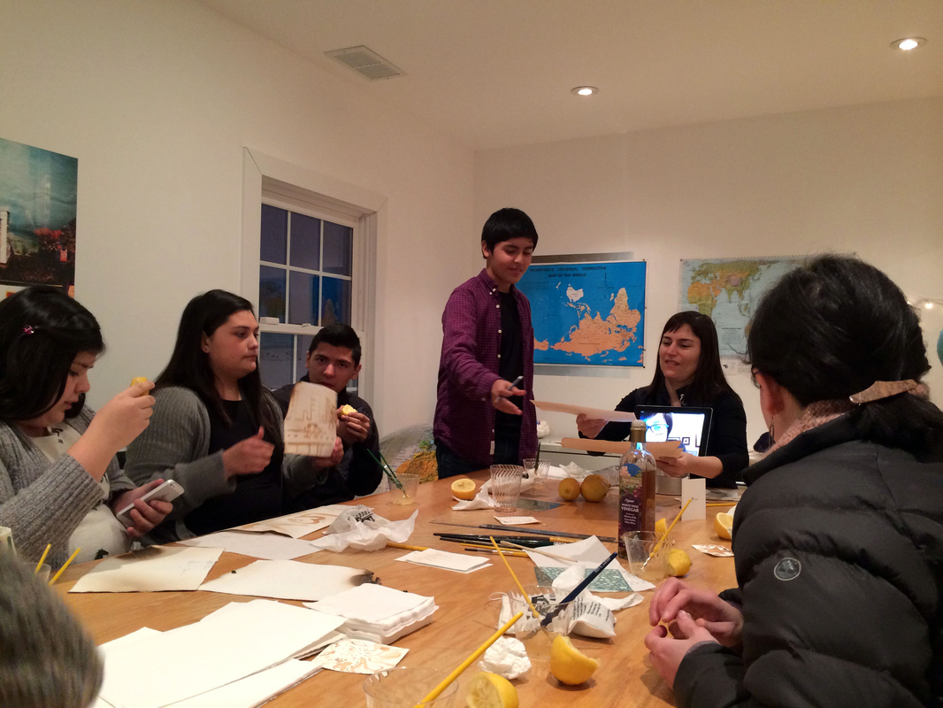
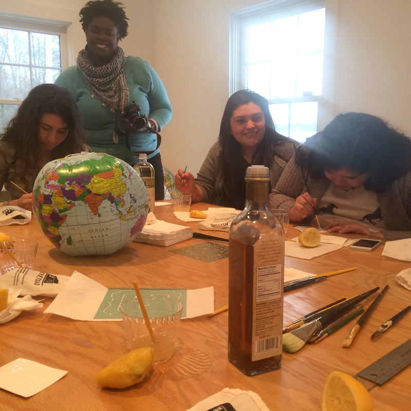
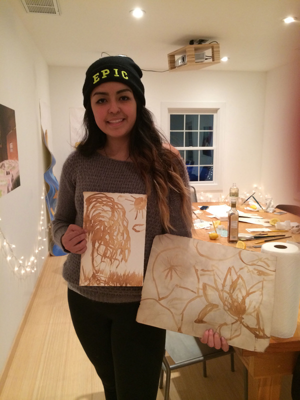
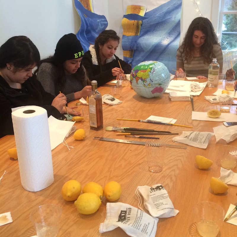
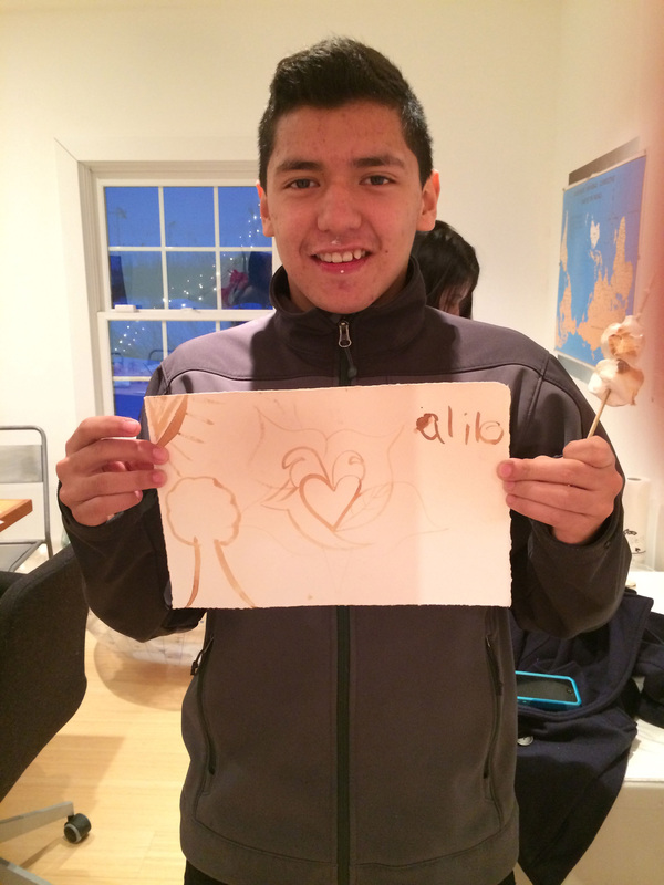
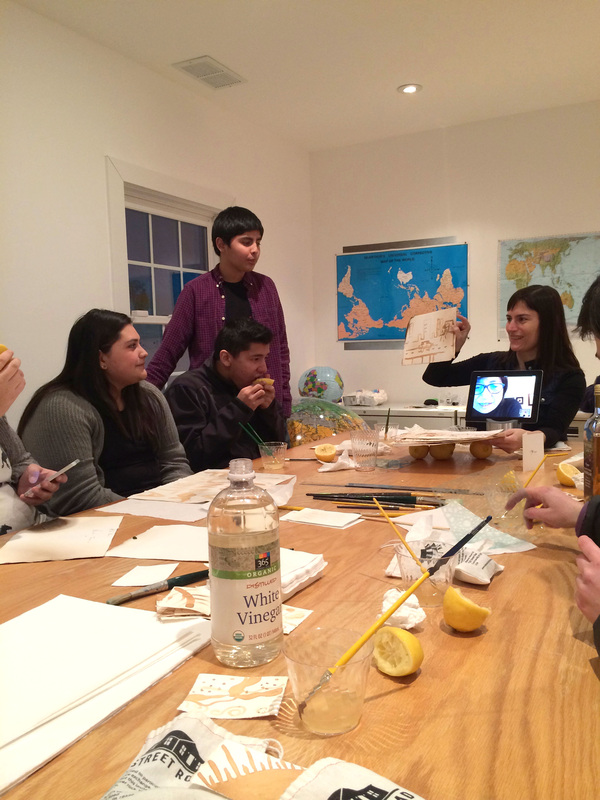
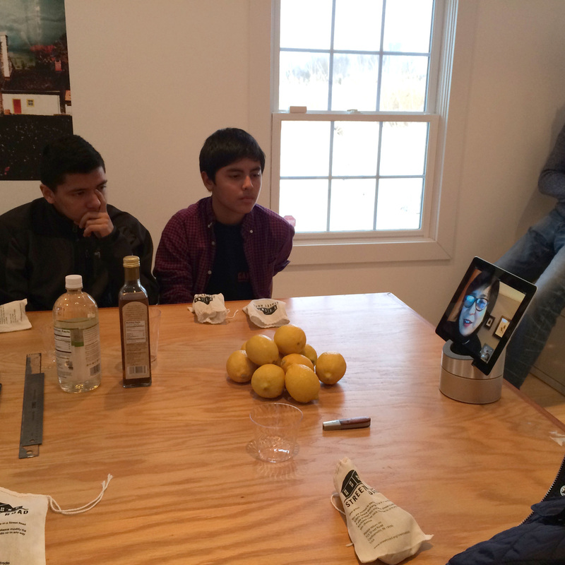
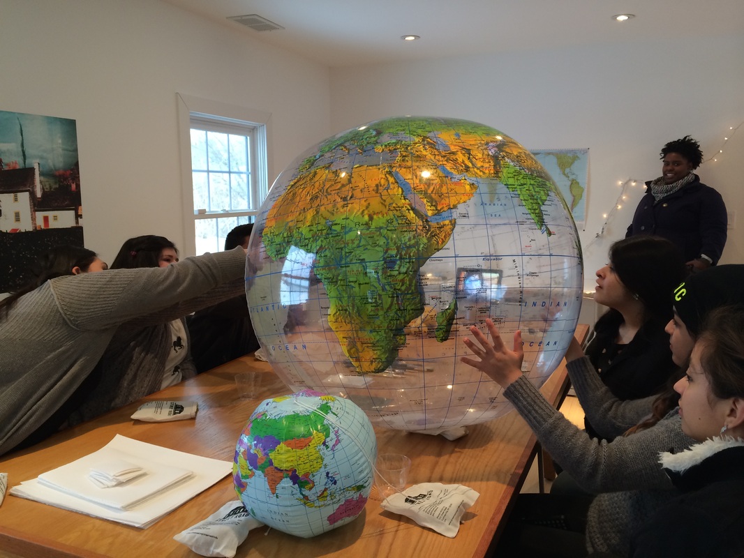
We had such a good time yesterday with our guests from The Garage Youth Centers in Kennett Square and West Grove. None of them had been to our space before so we briefly talked about Street Road and its history and introduced the teens to Kaori Homma via skype. Since so much of Kaori's work has to do with questioning notions of east and west and challenging our perception of geographical reality, we looked at some unconventional maps as a group and some of our guests showed us where their families are from on this enormous inflatable globe. 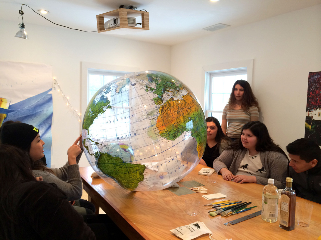 We then introduced them to the aburi-dashi technique and spent most of the afternoon making invisible images using lemon juice, then dashing to the deck, where James had a fire going, to expose them. 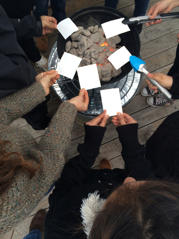 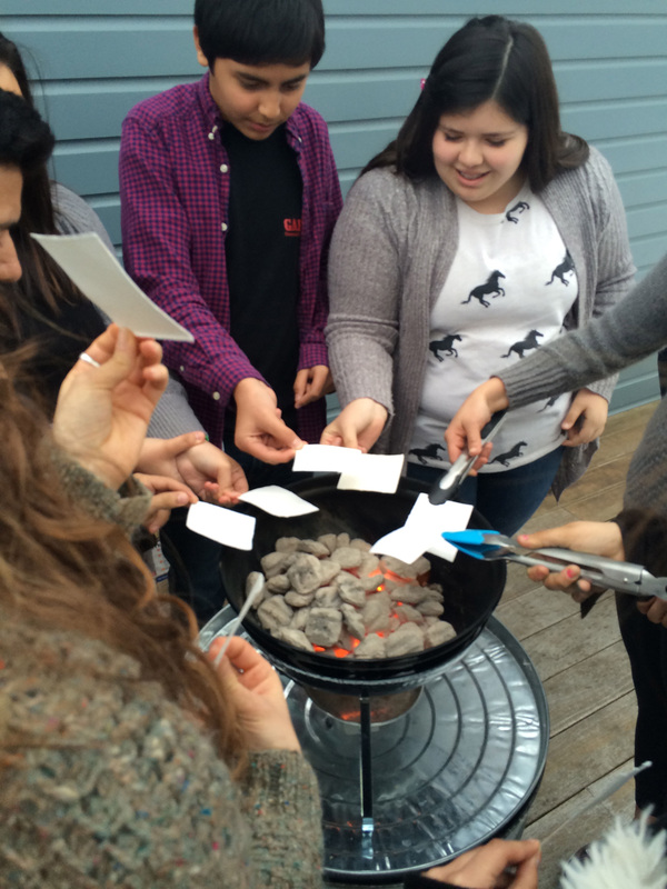 We even got to roast some marshmallows. 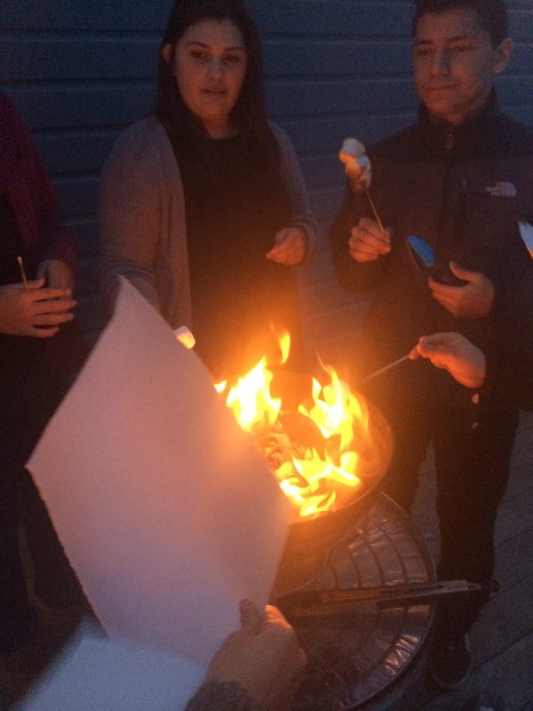 These guys were such good guests and had really thoughtful questions for Kaori. We plan on showing their work, along with some of the amazing rocks we've been getting back, in a short-term spring exhibition, so stay tuned for details. In the meantime, here are some more pictures from our lovely afternoon. Thank you to everyone who came, to Kaori for sharing her work and knowledge with us and to Meggie and Lauren for driving!
1 Comment
Will this winter ever be over? Blizzards, ice storms and the ensuing power outages, and the foot of snow still on the ground have put us in a deep state of pining for summer, or even just the relative warmth coming later this week. Fourty seven degrees by Thursday and we can hardly wait. There is one other thing happening this Thursday that we're excited about. Street Road will be hosting a group of teens from The Garage in nearby West Grove for a two hour workshop based on the work of Kaori Homma and a technique she often uses in her work called aburi-dashi. To create an aburidashi print, an image is drawn onto paper with lemon juice or vinegar. When the paper is exposed to heat, the image appears onto the paper in a deep brown color, or "becomes an integral part of it," as Kaori puts it. Here's us on the deck a few weeks ago, standing by the warm fire and experimenting with different kinds of acid and papers: 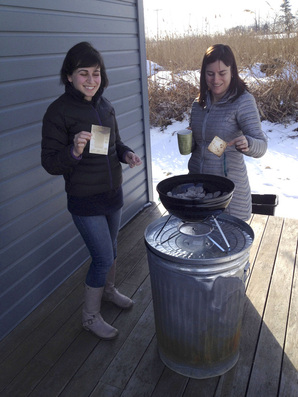 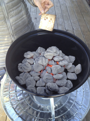 In preparation for the workshop we also bought some really cool maps. Why maps? We hope to introduce students to Kaori's piece Homma Meridian (permanently installed on our roof!) and engage them in a discussion about place and notions of geographical centers and hierarchies, all things that Kaori explores in her work. The Peters Pacific Area Accurate map, which was introduced the 1970's by Arno Peters, not only places Asia on the left and the Pacific ocean in the middle, unlike maps you find in the U.S., but it also represents each country based on its actual surface area. Most maps are based on the Mercator projection model, in which countries are inflated based on their distance from the Equator. This results, for example, in Greenland appearing to be roughly the same size as Africa, when in fact Africa is 14 times larger. Who knew? McArthur's Universal Corrective Map of the World, flips the world upside down, putting Australia and South America on the top, and Europe and North America at the bottom. This map, which really does make you question the whole idea of top and bottom, was designed by Stuart McArthur os Melbrourne, Australia-no surprise there! 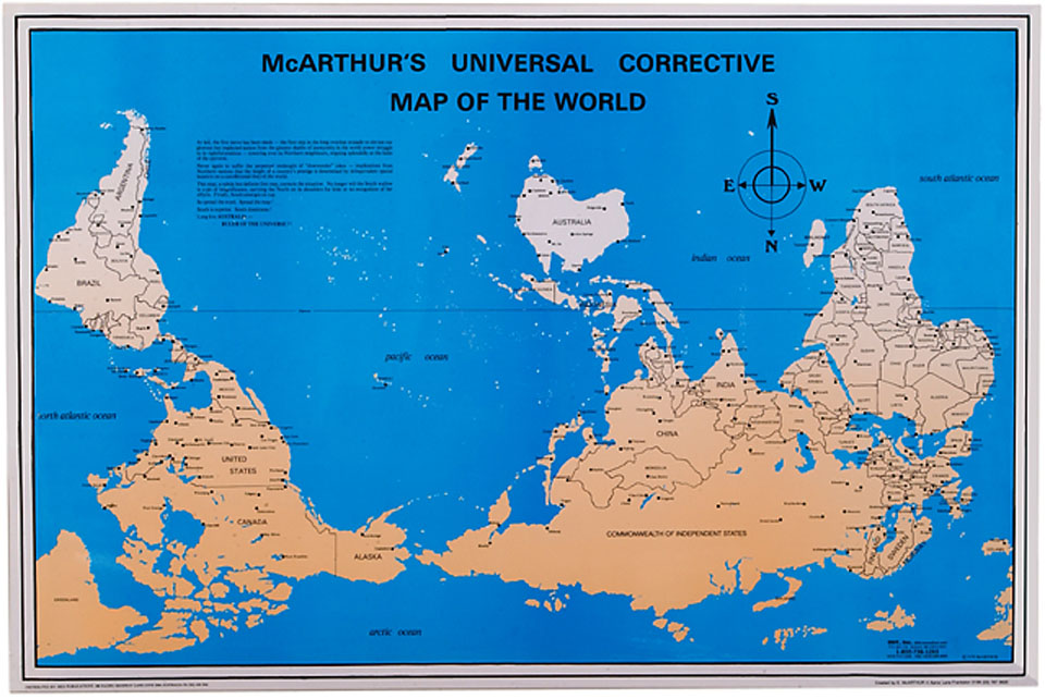 |
blogRegular posts from Street Road - check for updates on our shows, our friendly but slightly menacing groundhogs, bees from nearby Stella Lou Farm, and our growing collection of river rocks altered by the artistically inclined from all over the world. Categories
All
Archives
October 2016
Categories
All
|
 RSS Feed